")
")
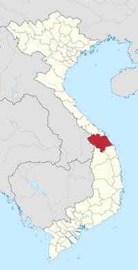 |
| QUANG NAM PROVINCE Coordinates: 15°35'N 107°55'E Region South Central Coast Capital Tam Ky Area 10,438.4 km2 Population (2011) • Total 1,435,000 • Density 137/km2 Demographics • Ethnicities Kinh, Co Tu Xo Dang, M’Nong, Co Calling code 0510 Website www.quangnam.gov.vn |
Quang Nam has flat land along the coast and increasingly high elevations towards the west, with the highest elevations along the border to Laos and Kontum Province. The highest peak is Ngoc Linh Mountain at 2598m. In contrast to the other provinces of the South Central Coast there are no hills or mountains near the coast (with the exception of the Cham Islands with a peak at 517m).
More than half of Quang Nam’s area is covered by forests, making it one of the more forested provinces in Vietnam. Forests dominate in the west of the province and along the border to Quang Ngai Province. 111,900ha of land are used for agriculture, mostly in the east of the province.
The Thu Bon River system covers most of the province (except for the south-east), making it one of the largest river systems in central Vietnam. It led to the rise of an ancient Cham city state that was once Champa’s most influential city and also included one of its most important commercial ports at Hoi An.
Climate
Quang Nam's climate is influenced by monsoon. The annual average temperature is 25oC. It is hot and dry from February to April and rainy from September to December.
Tourism
Quang Nam was once the political and near the geographic centre of Champa. For some time both the most powerful city-state and the busiest Cham port (at Hoi An) were located in what is now Quang Nam. Trade with luxury goods from the Central Highlands was the basis of this wealth and power. As a result of warfare with Vietnam, the centre of political power of the Cham shifted south to Vijaya. The trade in luxuries continued for some time under the Nguyen Lords but declined gradually, especially under the Nguyen Dynasty and further in colonial Vietnam, when the economic focus shifted to the agriculture of the large river deltas. Experiencing the ups and downs over the years, Quang Nam still preserves the unique historical and cultural remains of the past along with rich human values. Some of the typical cultural sites include: Hoi An Ancient Town, My Son Holy Land, Tra Kieu Old Champa Capital, Cham Towers in Khuong My and Chien Dan, which record the remains of Sa Huynh, Champa and the Dai Viet civilization. Among these cultural sites, Hoi An Ancient Town and My Son Holy Land have been recognized as World Cultural Heritage since December 1999.
Hoi An in the central province of Quang Nam has been ranked the 14th best place in the world for expatriates to live by The Travel website, thanks to the ancient town’s “cheap cost of living” and over 4.5 million travelers chose Hoi An to spend their holidays to Vietnam.
During many wars, Quang Nam was one of the cradles of the revolutionary movement. Bo Bo, Nui Chua, Vinh Trinh, Cho Duoc, Chu Lai and underground tunnels of Ky Anh, the Ho Chi Minh Trail have gone down in history as the destinations for tourist to stop and visit the former battle fields.
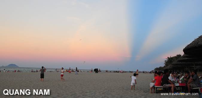
The province possesses 120km of coastline stretching from Dien Ngoc to Dung Quat with many beautiful, clean and deserted beaches. The beaches of Dien Duong, Cua Dai, Binh Minh, Tam Thanh, Ky Ha and Bai Rang together with the lake of Phu Ninh, the rivers of the Thu Bon and Truong Giang and the island of Cham are ideal tourist attractions.
Some festivals can be found in Quang Nam like Madam Thu Bon Festival (12th of the 2nd lunar month), Long Chu Festival (15th of the 7th lunar month) and Cau Ngu Festival (1st of April).
Transportation
Quang Nam Province is located in the middle of Vietnam, 860km from Hanoi, 947km from Ho Chi Minh City, and 108km from Hue City. The province is on the National Highway 1A, the South- North railway and on the route of Danang - Quang Nam - Kon Tum - Gia Lai - Dak Lak - Dak Nong - Binh Phuoc. Hoi An is 32km from Danang and can be reached by car, bus or minibus.
Last updated on 2022-06-12 05:33:07.